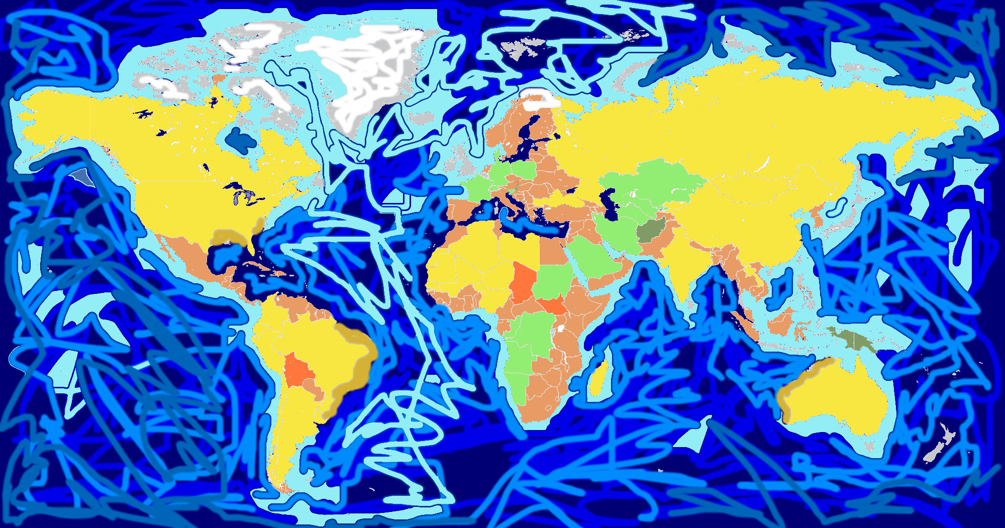
High Detail Vector Political World Map illustration, cleverly organized with layers.
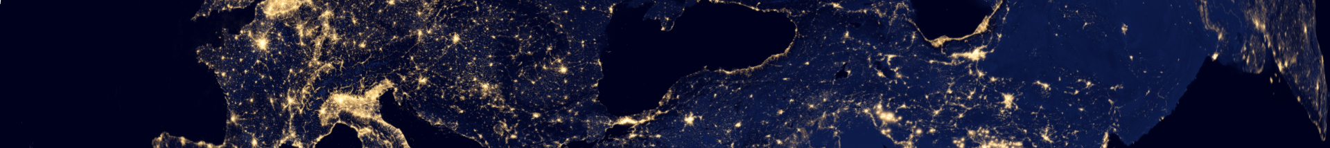
Original maps are from Cia (http://www.lib.utexas.edu/maps/world_maps/world_pol_2012.pdf) for political borders, NASA (http://visibleearth.nasa.gov/view_cat.php?categoryID=1484&p=1) for geographical Features.